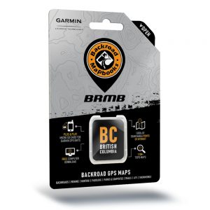


Backroad Mapbook Backroad GPS Maps SD Card-Vancouver Island
$69.95
In Stock
Just a short ferry ride from the bustling Lower Mainland, Vancouver Island offers a whole world of serene wilderness to explore. Moving north from the provincial capital of Victoria, you will encounter big trees, crystal-clear waters, epic surf and stunning beaches, with the population becoming sparser the further you go. Whales and seals are a common sight along the coast, and anglers and can enjoy some of the finest fishing in the world, either on the open water or on the Island's many rivers and lakes. Long distance hiking trails offer a chance to get away from it all and immerse yourself in the majestic old-growth rainforest, and a beautiful viewpoint or seaside camping spot is never too far away.
Vancouver Island Backroad GPS at a Glance
- Designed for industry use and outdoor recreationists, this product combines all of Vancouver Island into one Backroad GPS Map.
- Over 115,000 km of our backroads network combined into one map, including over 40,000 km of routable roads.
- Lake Bathymetry depth contour for almost 400 fishing lakes, rivers, and streams.
- Private leased land for hunters and anglers.
- Marked Wildlife Management Units (WMUs) for hunters
- Thousands of kilometres of ATV Trails, snowmobile routes, multi-use hiking, biking and cross-country skiing trails and paddling routes, with marked trailheads and access points/portages.
- Thousands of fishing hotspots, parks and conservation areas, campsites, hunting areas, winter recreation areas and more.
- Close to 8,500 land and water geographic features.
- Industry-leading cartography for improved display of parks, conservation areas, Crown land, creeks and activity Points of Interest
- Improved snowmobile route lines, First Nations reserve coverage and railway corridor mile markers
Additional information
| Weight | 0.036 kg |
|---|---|
| Dimensions | 18 × 11.5 × 1.5 cm |
| Brand |